


activity_enregistrement_du_03042025_2vE7MUHiwR6t5UYrfoF4XFvLB57

doudet
User
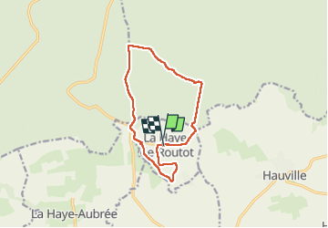

Length
11.3 km

Max alt
142 m

Uphill gradient
189 m
Km-Effort
13.8 km

Min alt
43 m

Downhill gradient
189 m
Boucle
Yes
Creation date :
2025-04-03 16:47:34.794
Updated on :
2025-04-04 06:00:20.671
3h08
Difficulty : Difficult

FREE GPS app for hiking
 SityTrail
IGN / Geographical institutes
SityTrail Plus
The world is yours!
About
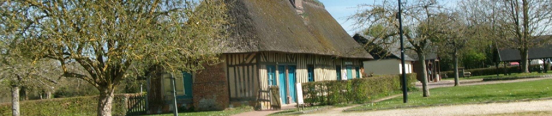
Trail Walking of 11.3 km to be discovered at Normandy, Eure, La Haye-de-Routot. This trail is proposed by doudet.
Description
Boucle A-R au départ de la Mairie
Photos

Positioning
Country:
France
Region :
Normandy
Department/Province :
Eure
Municipality :
La Haye-de-Routot
Location:
Unknown
Start:(Dec)
Start:(UTM)
335012 ; 5474963 (31U) N.
Comments